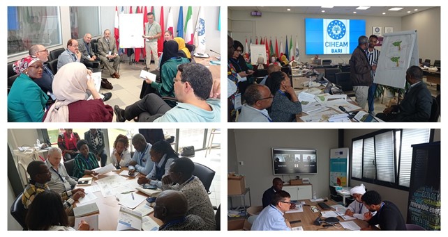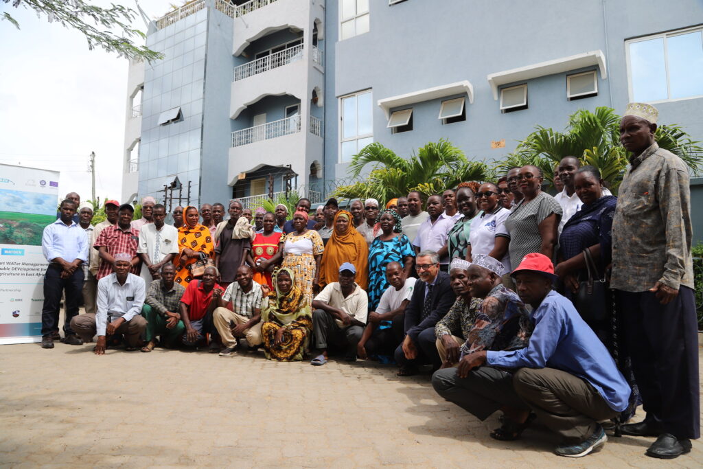
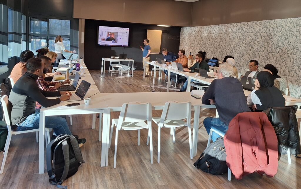
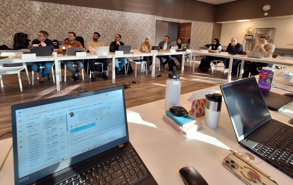
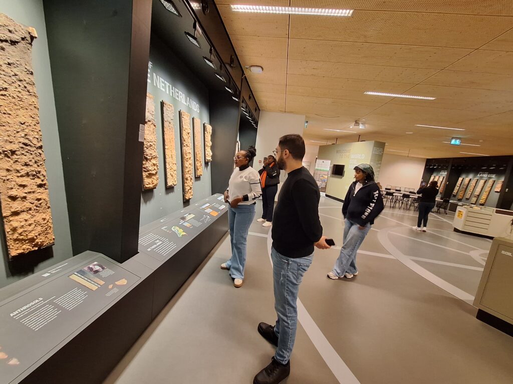
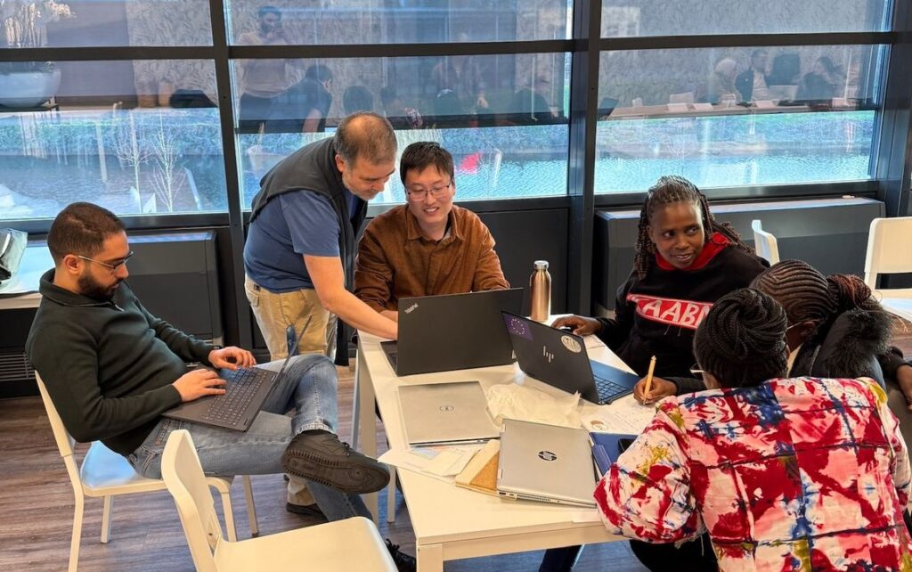
The 1st Regional Training for Modellers on the WATDEV Toolbox was successfully conducted from 4 to 6 February 2026 in Wageningen, the Netherlands, bringing together researchers, PhD students and technical experts from Egypt, Ethiopia, Kenya, Italy, Sudan, China, Spain, and the Netherlands. Organized by ISRIC and Wageningen University, the training provided an intensive, hands-on learning experience focused on the application and scientific foundation of the WATDEV Toolbox.
Funded by the European Union under the DeSIRA Initiative, the training aimed to strengthen participants’ capacities to use the WATDEV modelling toolbox as a decision-support instrument for climate-smart water management and sustainable agriculture. It focused on developing a solid understanding of how the Toolbox integrates the WATDEV modelling framework across the project’s study areas, enabling participants to visualise and interpret model outputs. Through hands-on exercises, participants strengthened their ability to design, implement, and assess the Best Management Practices (BMPs) and to apply Multi-Criteria Analysis (MCA), combining environmental and economic indicators to support robust, evidence-based decision-making. It also fostered networking and knowledge exchange among researchers and practitioners working on water, agriculture, climate change and food security.
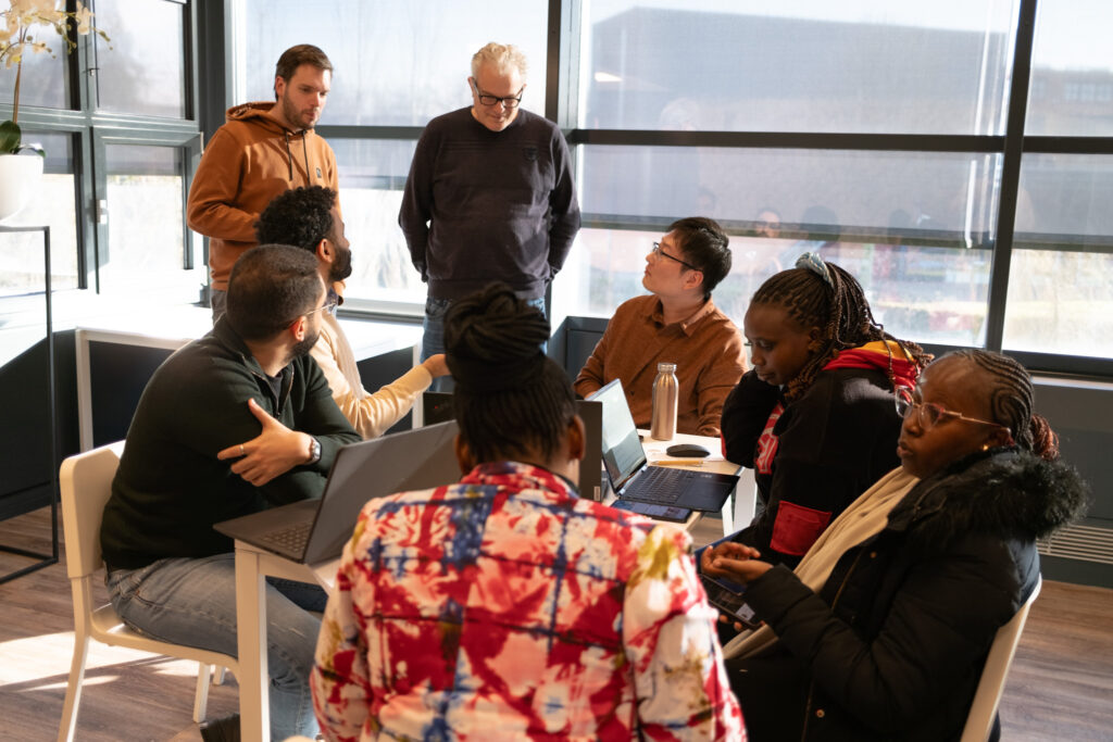
The three-day programme combined lectures, guided tutorials, and group exercises, allowing participants to progressively advance from introductory use of the WATDEV Toolbox to independently designing and assessing BMPs scenarios using real case studies. The focus went beyond the Toolbox and dived into the wider topic of using numerical modelling to support agricultural decision-making.
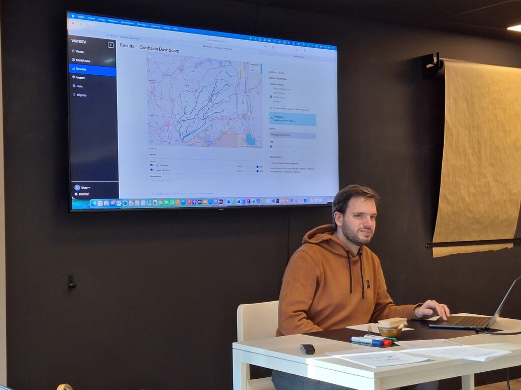
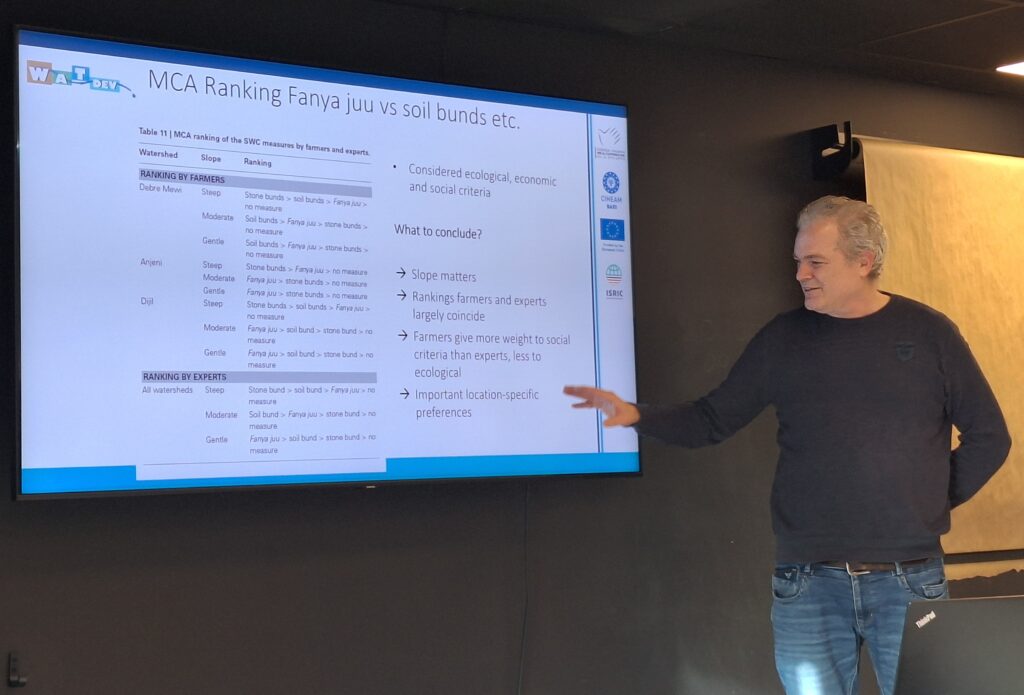
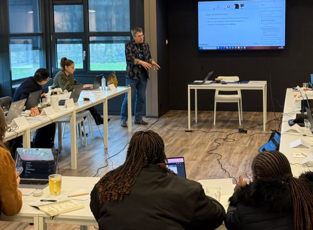
The first day introduced the WATDEV model and Toolbox from an end-user perspective, with a focus on visualising model results, comparing alternative BMP scenarios and applying MCA to integrate environmental and economic indicators. Through interactive tutorials and coached group work, participants gained practical experience in post-process model outputs and implement MCA for their respective case studies.
The 1st Regional Training for Modellers on the WATDEV Toolbox was successfully conducted from 4 to 6 February 2026 in Wageningen, the Netherlands, bringing together researchers, PhD students and technical experts from Egypt, Ethiopia, Kenya, Italy, Sudan, China, Spain, and the Netherlands. Organized by ISRIC and Wageningen University, the training provided an intensive, hands-on learning experience focused on the application and scientific foundation of the WATDEV Toolbox.
Funded by the European Union under the DeSIRA Initiative, the training aimed to strengthen participants’ capacities to use the WATDEV modelling toolbox as a decision-support instrument for climate-smart water management and sustainable agriculture. It focused on developing a solid understanding of how the Toolbox integrates the WATDEV modelling framework across the project’s study areas, enabling participants to visualise and interpret model outputs. Through hands-on exercises, participants strengthened their ability to design, implement, and assess the Best Management Practices (BMPs) and to apply Multi-Criteria Analysis (MCA), combining environmental and economic indicators to support robust, evidence-based decision-making. It also fostered networking and knowledge exchange among researchers and practitioners working on water, agriculture, climate change and food security.
The three-day programme combined lectures, guided tutorials, and group exercises, allowing participants to progressively advance from introductory use of the WATDEV Toolbox to independently designing and assessing BMPs scenarios using real case studies. The focus went beyond the Toolbox and dived into the wider topic of using numerical modelling to support agricultural decision-making.
The first day introduced the WATDEV model and Toolbox from an end-user perspective, with a focus on visualising model results, comparing alternative BMP scenarios and applying MCA to integrate environmental and economic indicators. Through interactive tutorials and coached group work, participants gained practical experience in post-process model outputs and implement MCA for their respective case studies.
The second day provided in-depth training on the WATDEV models, covering model structure, input parameters, and scenario development. Working on groups, participants conceptualised new BMP scenarios, defining appropriate model parameters related to crops, irrigation, and fertilisation, running simulations, and evaluate results through the Toolbox and MCA framework. This hand-on approach ensured a full learning cycle from BMP design to performance assessment.
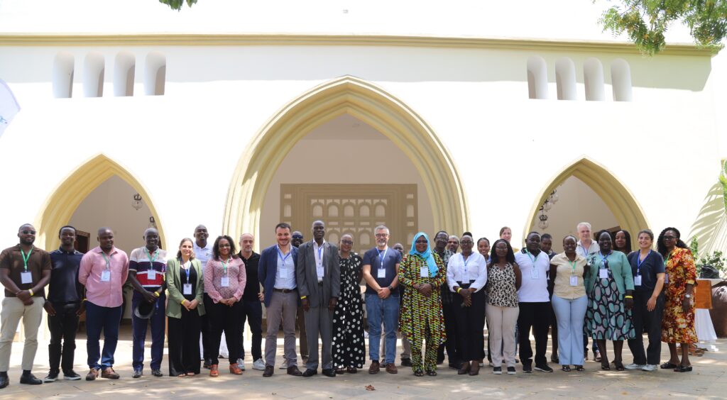
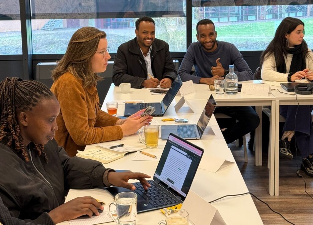
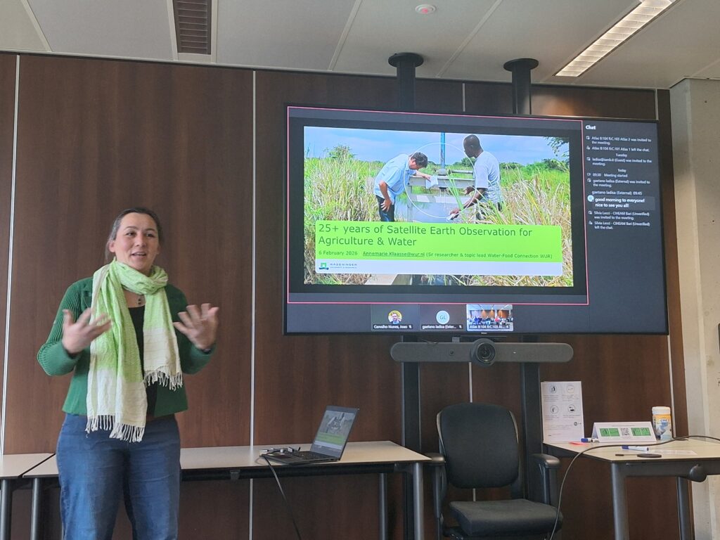
The training concluded on the third day at the Wageningen University & Research (WUR) campus with a networking and science exchange event highlighting cutting-edge research on water, irrigation, climate change, and food security. Contributions from the Italian Agency for Development Cooperation (AICS Cairo), CIHEAM Bari, WUR, ISRIC, and HydroSat representatives provided participants with broader scientific and innovation perspectives.
The final session, “The Science of WATDEV,” showcased ongoing PhD and research activities across the project’s study sites in Egypt, Ethiopia, Kenya, and Sudan, promoting cross-country learning and scientific exchange.
The training was delivered by an interdisciplinary team of experts from ISRIC, CIHEAM Bari, and Wageningen University & Research, with the active participation of AICS Cairo’s representative, reflecting the collaborative spirit of the WATDEV project. By combining advanced modelling science with applied decision-support tools, the training significantly contributed to enhancing regional capacities in sustainable water management and climate-resilient agriculture.
This first regional training marks an important milestone in the implementation and further improvement of the WATDEV Toolbox, reinforcing the project’s commitment to translating science into practical solutions for water and food security in East Africa.