The training course on smart platforms for plant phenotyping concluded in Southern Italy

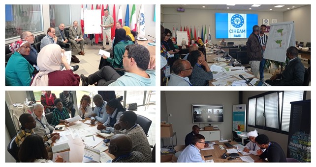
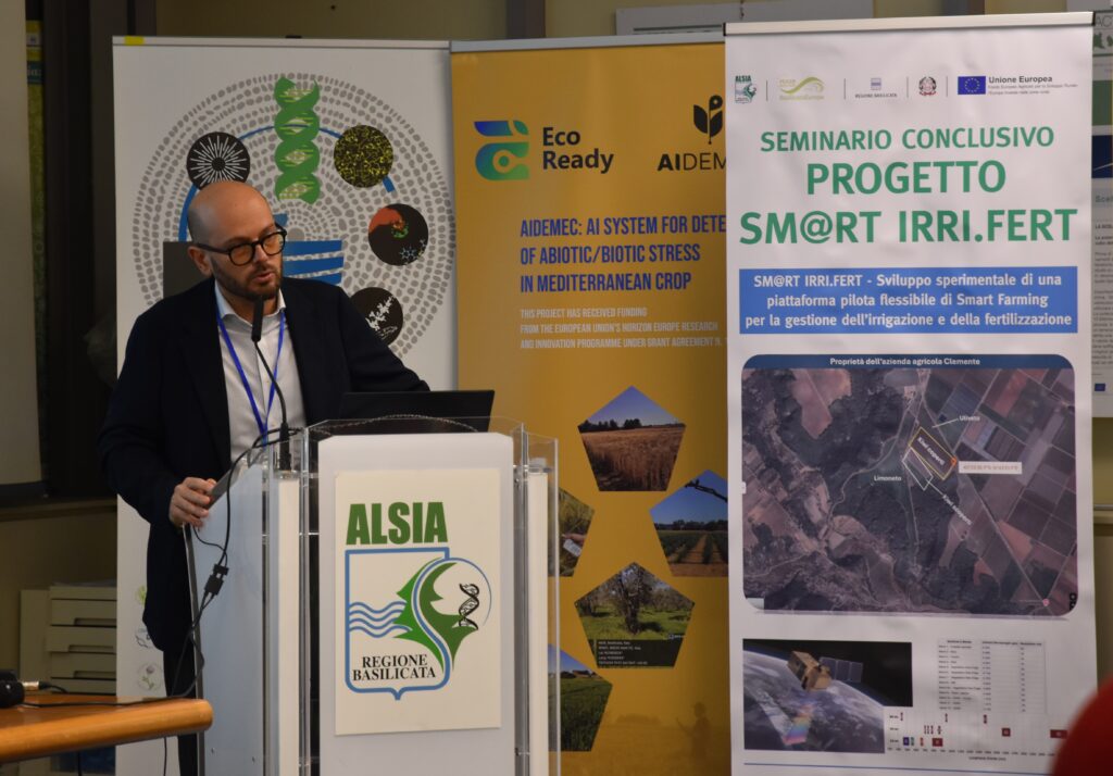
The Training of Trainers and Capacity Building Course on ???Smart Platforms for Plant Phenotyping and Precision Agriculture: Tools, Practices, and Analytics??? was successfully held in southern Italy from 21-23 January 2026. Organized by the Institute for Sustainable Plant Protection of the National Research Council of Italy (CNR???IPSP) together with CIHEAM Bari and within the framework of WATDEV project, the course aimed at strengthening regional capacities in sustainable water management and climate???resilient agriculture among researchers, PhD students, technologists, and professionals mainly from Egypt, Ethiopia, Kenya, Sudan and Italy, with international attendees joining remotely.

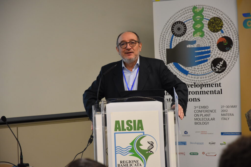
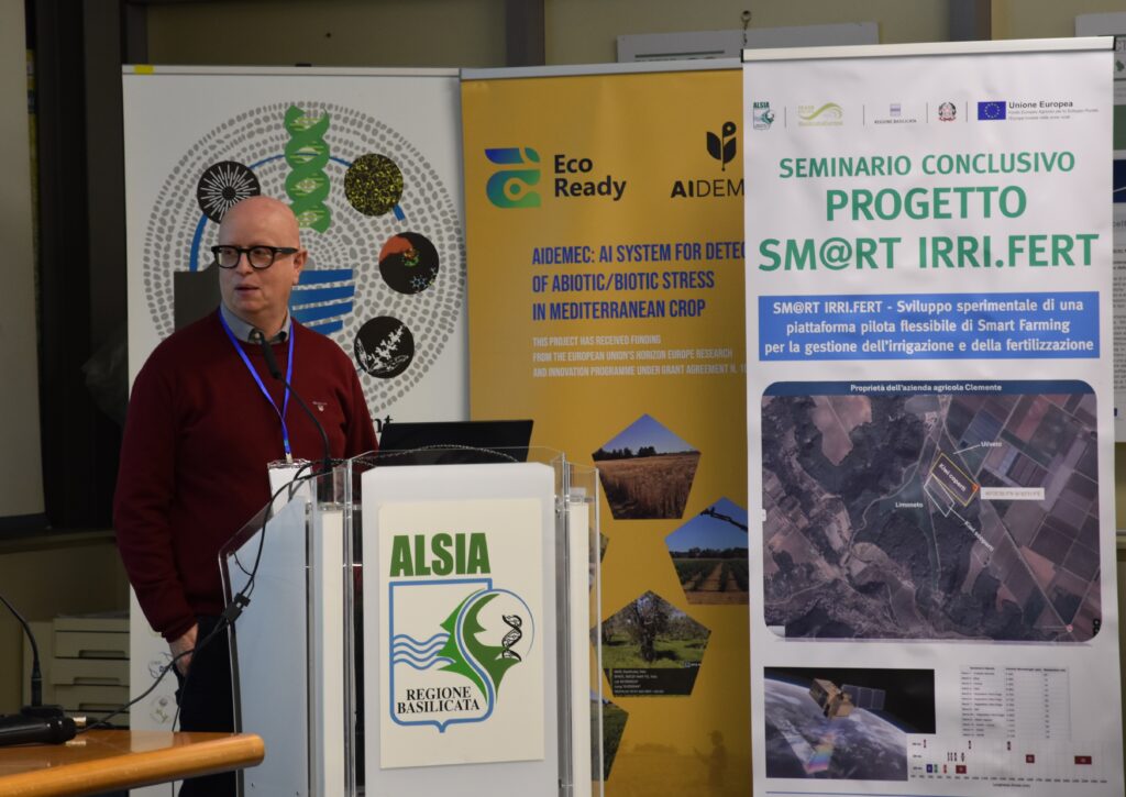
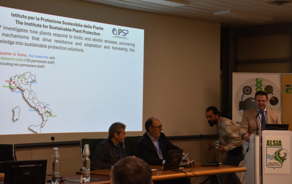
The course started with an opening session featuring welcome remarks by the Research Director of CNR???IPSP, the Director of CNR???DISBA, the WATDEV Coordinator at CIHEAM Bari, and the Directors of CNR-IPSP and ALSIA.

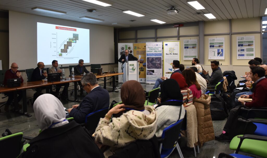
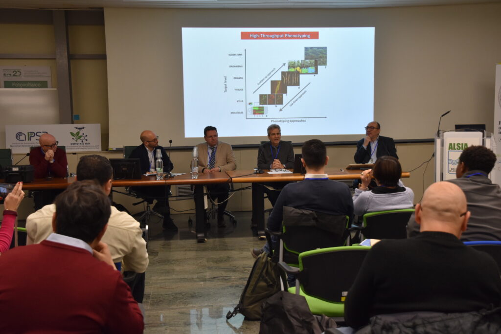
The course was structured into three intensive complementary modules devoted to advanced technologies for crop performance monitoring and optimization, with a strong focus on water efficiency and precision agriculture. All modules combined theoretical lectures with hands-on experience and demonstrations, fostering high-quality knowledge transfer and promoting the adoption of Best Management Practices (BMPs) within diverse local contexts.

During the first module, participants were introduced to high-capacity research platforms, including digital infrastructures for field-based and controlled-environment phenotyping, data management in accordance with FAIR principles, as well as artificial intelligence tools to support data analysis and decision-making in agriculture.

While the second module focused on field instrumentation and data collection, featuring practical demonstrations of portable sensors and instruments for the validation of remote and proximal sensing data. Through guided demonstrations, participants practiced image processing techniques and the use of vegetation indices for crop monitoring and water resource assessment.


The third module addressed statistical analysis, predictive modelling, and the reuse of treated wastewater for irrigation. It included the application of statistical methods and machine-learning approaches to phenotyping and precision agriculture, alongside operational demonstrations illustrating safe and efficient strategies for wastewater reuse. This module additionally welcomed a delegation from Palestine and Morocco, hosted by the University of Basilicata, further enriching the exchange of knowledge and experiences.


Throughout all modules, training activities encouraged active interaction, problem???solving, and the sharing of context-specific experiences.


To maximize long-term impact, the course adopted a Training of Trainers (ToT) approach, encouraging participants to disseminate the skills and knowledge acquired within their institutions and local communities, thereby accelerating the dissemination of innovation and sustainable water???management solutions. At the end of the course, participants received certificates of attendance, recognizing their successful completion of the training.


The first two days of the training were held at the Metaponto site in Bernalda (MT) of the Lucanian Agency for Development and Innovation in Agriculture, while the final day was hosted at the Municipality of Ferrandina, focusing on innovative solutions and technologies aimed at enhancing the efficiency of agricultural water management.


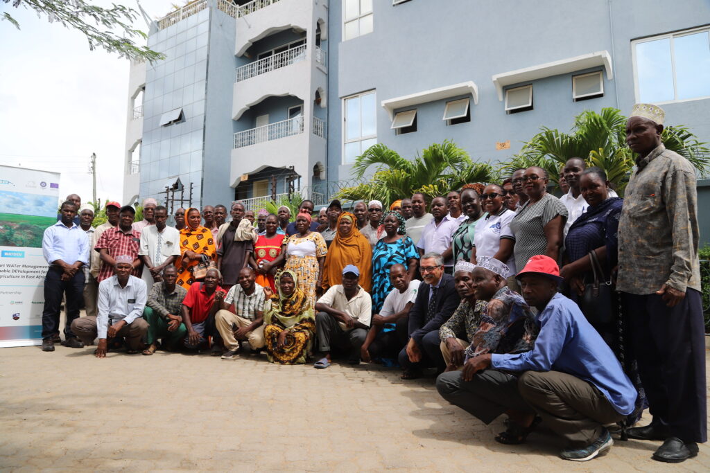
As part of the third Module, participants visited the secondary wastewater treatment plant of Ferrandina, which hosts two demonstrator units for irrigation-oriented wastewater recycling. The visit provided a concrete example of how treated urban wastewater can be safely reused in agriculture, contributing to water savings and climate adaptation.

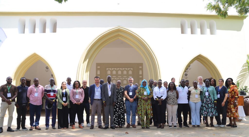
The course concluded with a round table discussion dedicated to the Mattei Plan for Africa, a strategic Italian Government initiative launched in January 2024 to foster cooperation with African nations. Moderated by Dr. Mauro Centritto, the session included interventions from policymakers and representatives of CNR and the University of Basilicata. The discussion served as a science???policy interface, highlighting opportunities for further collaboration in research infrastructures and scientific training.


Both the technical visit and the round table fostered interactive dialogue among participants, reinforcing WATDEV???s commitment to innovation, scientific cooperation, food security, and climate resilience in agricultural systems across East Africa and Egypt.


WATDEV is funded under the DeSIRA Programme of the European Union and coordinated by the Italian Agency for Development Cooperation (AICS) in collaboration with CIHEAM Bari. CNR???IPSP collaborates as a project partner alongside universities and research institutions from Europe and Africa. Through advanced research, modelling, technological innovation, and capacity building, the project works to improve the efficiency of agricultural water management and support the uptake of innovative climate-smart solutions by local institutions, technical professionals and rural communities.

Photo Album

Leave a Comment

Your email address will not be published. Required fields are marked *

Scroll to Top

Ude Kebele groundwater irrigation scheme under the Adaa Becho Groundwater Irrigation system (ABGIS) in the Awash Basin

It is a new intervention area with perspectives to be expanded. It is therefore envisaged that the lessons from other countries could be scaled out in this area.

Ada’a-Becho Groundwater Irrigation (ABGIS) is located in Ada’a Wereda some 50 km from Addis Ababa. The Adama road passes nearby the scheme and has no access limitation.  This scheme is part of Ada’a-Bacho Irrigation Development Project that comprises three conjugate Kebeles (i.e., Dhankaka, Ude and Qallitty) in Ada’a District of East Shawa Zone, Oromia Regional State.

The Ude Kebele Groundwater Irrigation Site is small, scheme selected to demonstrate groundwater irrigation practice demonstration sites as it is new irrigation development area will be a learning site for a medium scale community owned groundwater irrigation development in Ethiopia.

ABGIS landscape is one of the low reliefs that slopes gently north-west and south east wards. Apart from close to the hills virtually all slopes are nearly less than 3- 4%, with the majority of the slopes of 0-2%. 

The climatic variables of the project area are highly governed by the topography of the area (mainly altitude). The highland area lies at an altitude of over 2300 m asl and covers 17.5% of the project area. Mean annual temperature of this part of the project area ranges from 12.50C to 160C.

The major crops produced include Teff, chick pea, wheat, barley, vetch, and maize.  Few farmers also produce tomato and onion as cash crops. Crop production in the area is by and large rain-dependent. But in few farmers produce vegetables twice a year using pumped water from Mojo and Waddecha rivers.

The problems in ABGIS are connected with the limited experience in fruit crop production.

Koga Irrigation System (KIS) in the Abbay Basin

KIS is an established and relatively well performing irrigation scheme in Ethiopia. In here besides Irrigation water management, there are also success stories in watershed management.

Koga is located some 40 km from Bahri Dar town (Regional capital of Amhara Regional State. The  Bahir Dar –Addis Ababa highway passes through the scheme (Fig 2), hence the scheme is year round accessible.

Koga irrigation system comprises of 19.7 km of lined main canal, 52 km of lined secondary canals, 156 km of unlined tertiary canals, 905 km of unlined quaternary canals and 11 lined Night Storage Reservoirs (NSRs). The main canal was designed to provide irrigation water for 24 h during irrigation period.

There are 12 secondary canals designed for 12 h irrigation supply each covering an area of irrigated land ranging from 220 ha to over 1000 ha. Tertiary canals are designed for 12 h irrigation supply. The area irrigated by a tertiary canal range between 20 ha to 65 ha. The quaternary canals have a capacity of irrigating 8–16 ha of land while field canals will serve an area of 2.0 ha within the quaternary unit. The maximum field canal design capacity is 30 l/s.

KIS is the best performing among many community-managed irrigation schemes. Unlike other schemes this was designed and developed as an integrated watershed and irrigation development project.

Among the problems associated to the KIS are Seasonal water shortage and associated conflicts between Irrigation water user associations, low irrigation water application efficiency, catchment degradation. In order to increase water productivity in the KIS, water saving technologies will be promoted.

The Gezira irrigation scheme

The Gezira Scheme is located between the Blue Nile and the White Nile Rivers within a semi-arid agro-climatic zone. In terms of accessibility, it is easily accessible by Wad Medani road and the trip between Wad Medani, the capital of the Gezira State and headquarter of the scheme (Barakat), and Khartoum takes about three hours. The scheme is one of the largest irrigation schemes in the region with 880,000 hectares (ha). It is one of the main sources of foreign currency (cotton export), and food security (wheat, sorghum, vegetables) for Sudan. It has huge infrastructure with a value estimated at about US $ 8 billion. The scheme had played a vital role in the history of irrigation in Sudan and Africa and has become a model for many irrigation schemes in sub-Saharan Africa in terms of design and operation system. Therefore, any research aiming at improving water management in Gezira scheme is not only beneficial to the project, but also to similar projects at national and regional scale.  There are many challenges that the scheme face and urgent need to investigate Best Management Practices (BMPs) that  can overcome these challenges and enhance productivity. Some of these challenges are deterioration of irrigation infrastructure, inefficient water distribution within the scheme, agricultural drainage discharges directly in the Blue Nile without treatment impacting water quality, institutional weakness and instability.

Belbies district

Belbies district is located 20 km south of El Zagazig city between Long. 31o 24′ and 31o 39′ E and Lat. 30o 19′ and 30o 29′ N. It is bounded at the east by Abu Hammad, at the west by Minia El Kammh and in the south by the Tenth of Ramadan City districts.

As a part of the east Nile Delta, Belbies district constitutes a portion of an arid belt of north Egypt. It is characterized by a long dry summer and short temperate winter with a rainfall period from October to March. The climate is hot in summer; the average temperature is in the range of 19.7oC and 34.7oC, while during winter it ranges from 7.4oC and 18.4oC.

Due to intensive agricultural practice, which involves the application of chemical fertilizers and pesticides, many soils and shallow aquifers are contaminated. Consequently, pollution of groundwater has become a major concern in recent years. Wastewater disposed in canals can diffuse in groundwater. Overexploitation of groundwater and intensive irrigation in major canal commands has posed serious problems for groundwater managers in Nile Delta e.g. Sharkia governorate. The development of groundwater resources, technology-oriented management skills, adequate and efficient groundwater monitoring system, empowerment of women in unprivileged areas are among the challenges to be addressed. Indeed, water management projects are one of the priority topics in the political agenda of Egypt.